
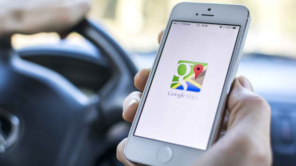
You may not know that you can do a variety of useful things on Google Maps. Here are some examples. Among other things, you can measure the distance between two points, create custom lists, and travel back in time. All of these tricks and more can be easily done on your smartphone.
Incognito Mode
Incognito mode is a new privacy feature that Google is rolling out for Android users. Similar to the privacy features in Chrome and YouTube, this feature lets users switch off all tracking and logging while on Google Map. This means that your location and other web activity will not be stored, nor will your location be used to suggest places to you.
Turn on Incognito Mode
If you want to use Google Maps incognito mode, you’ll need to have the latest version of the app installed. Once you’ve updated, go to the settings screen and tap on your profile picture. Next, tap “Turn on Incognito mode.” After you’ve done this, you’ll see a grey bar on top of the screen titled “Incognito mode.”
While this feature is similar to Chrome’s incognito mode, it’s not quite as robust. It doesn’t completely hide your movements, but it still gives you access to maps without worrying about being tracked by someone else. Incognito mode can be very useful when you’re planning a surprise event or need to protect your privacy.
Privacy Settings
Incognito mode on Google Maps is available for iOS users, and it also works on Android devices. To enable Incognito mode, open the Google Maps app on your device. Click the profile picture in the search bar to change your privacy settings. Then tap the menu option that says “Turn on Incognito mode” to enable the private mode for your device.
Google Maps Voice Search
Incognito mode on Google Maps will not save your location history and will not show personalized recommendations. Moreover, you won’t be able to share your location history with other people. You’ll also not be able to use Google Maps’ voice search or contribute to its social networking features while using Incognito mode.
Incognito mode on Google Maps is similar to the classic incognito mode on browsers, and it comes with the same pros and cons. The biggest concern is maintaining your privacy on the internet. Breadcrumbs and other information left by navigation leave traces that are traced by the search engine. Using Incognito mode, you can remain anonymous and protect your identity from prying eyes.
Measure Distance Between Two Points
Google Maps has many features, including the ability to measure distances between two points. By clicking the “Measure distance” button on a map, you can see the distance in miles or kilometers. You can also plot multiple points. The tool also displays the area of the map as well as real-time information like traffic density.
You can measure distances between two points on Google Maps with just a few simple steps. To do this, simply click on the additional location you want to measure and a small popup will appear. This will tell you the distance between the original location and your new destination. You can even chain points together to get the total distance.
You can also measure the distance between two points on a path. This feature is useful if you want to measure a long, winding path. You can add as many points as you want, and if you place a point in the wrong place, you can easily delete it.
Useful Feature of Google Maps
Another useful feature of Google Maps is its ability to measure the area of a plot of land. You can measure the area in square feet or square meters. The desktop version of Google Maps has a built-in feature that calculates the area of a plot. For non-square shapes, you can also draw a line on the map and measure the distance between the two points. The more points you add, the more precise your area will be.
To use the Measure distance feature on Google Maps, you need to input the address of the place you want to measure. Once you do this, you can click on the “Measure distance” feature to see the distance in kilometers and miles. You can also use this feature to check the distance between two points on Google Maps in any direction.
Google Maps offers a feature to create custom lists. These lists can be private or public. Once created, you can share them with others via links. These lists are perfect for saving your favorite places, or sharing with friends. However, they cannot be embedded on your website. If you are looking for a way to make your maps look more personalized, create custom lists on Google Maps!
Location Information Screen
To create a list, you’ll need to open the location information screen. After this, select the “privacy” setting and select “Share with friends”. If you don’t want others to see your lists, you can also share them with friends. Once created, you can access them from “Your Places” under the “Save” menu. If you download the app to your phone, you can also view your lists offline.
Travel Back in Time
If you love time-lapse movies, you can travel back in time on Google Maps. This new feature is available on Google Earth and Google Maps for more info ontrendingnews.com. You can travel back to a specific day or era and view the location in street view. You can also click on the “See More Dates” button to see more possible locations.
This feature allows you to see a location’s evolution over time. You can start from the present and go back as far as 2007. Once you’ve chosen the date you’d like, you can drag the time slider backward to see the place as it appeared then. You can also magnify the images to see them in greater detail.
Historic Imagery of Google Maps
The historic imagery on Google Maps is available in the desktop and mobile versions of the program. Some of the historical images date back decades. For example, you can see a building or street from the 1800s, or a church from the mid-19th century. You can even see people and places who lived there back then. The feature was added to Google Maps in 2007, and is available in select locations today.
Final Thoughts:
Google Maps’ time-lapse feature is a fun way to explore how the world has changed over the years. The time-lapse feature is currently available for desktop users and will be available soon on Android and iOS. While this feature is a new addition to Google Maps, it does have some limitations. The database used by Google Street View is huge, so not every landmark will be included.


More Stories
Signing Up for An Account on Reddit UK MusicTamburroGameRevolution
Labs 15M Pantera TheBlock Raised $15 Million in a Series A Funding Round
IMac Pro i7 4K Reviews: Fantastic Features of the Apple iMac Pro 4K